-40%
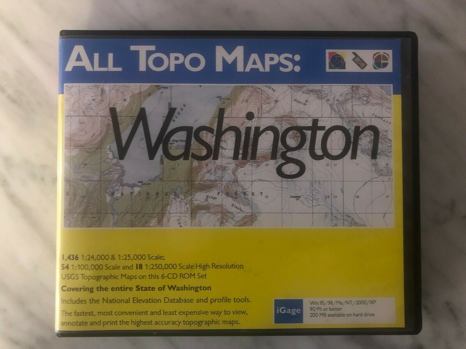
Washington iGage All Topo Maps - Surveying/GIS Topographic Software (Windows)
$ 7.91
- Description
- Size Guide
Description
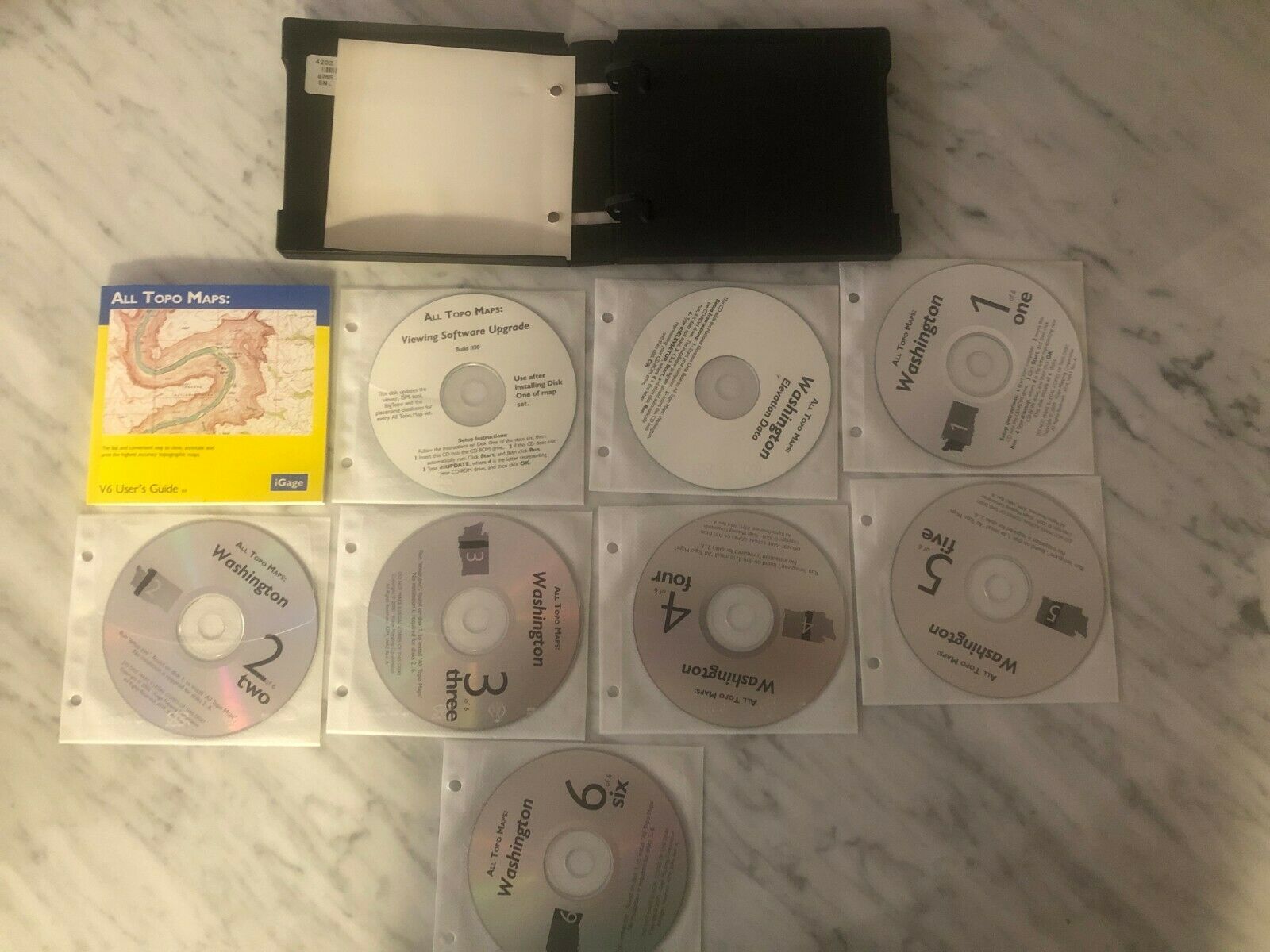
Washington iGage All Topo Maps v6 - Surveying Topographic Software (Windows) . Used in Excellent Condition. Shipped with USPS Priority Mail Small Flat Rate Box.Comprehensive USGS mapping CD-ROM with high-resolution, color images of Washington topography
All Topo Maps GPS tool lets you transfer waypoints, route points, and track points between GPS and PC
National elevation database displays landscape height and creates highly accurate elevation profiles
Search by place name, geographic coordinates, feature, or map name; 375 zoom levels
Includes All Topo Maps viewer; compatible with many Garmin and Magellan GPS receivers
Stitch together your own topographic maps using Big Topo Map Software (Included) in 24k, 100k, 250k
Export Georeferenced topo maps for use in ESRI ArcGIS and other geospatial software


