-40%
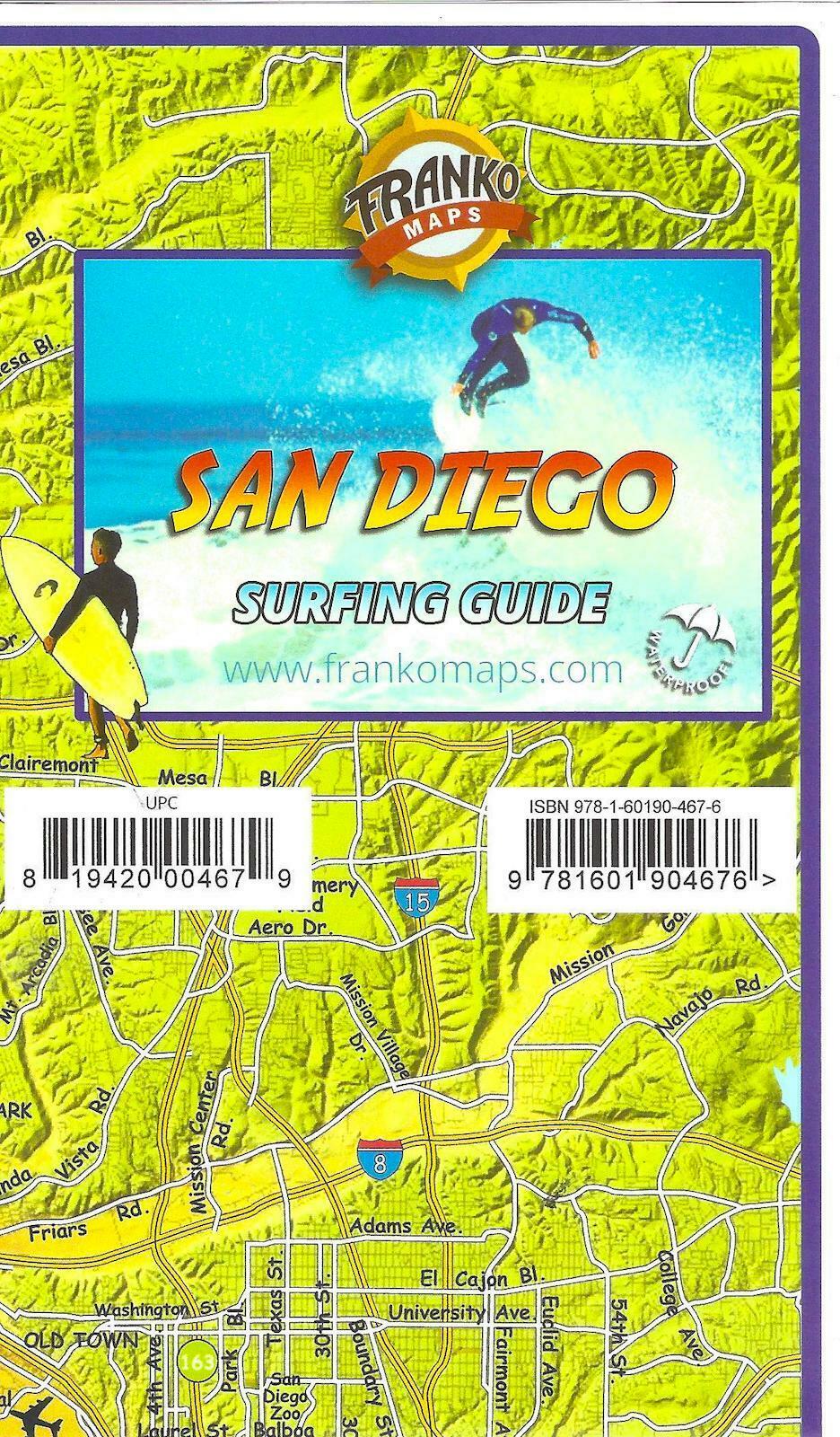
San Diego County Surfing Map, California, by Franko Maps
$ 3.66
- Description
- Size Guide
Description
San Diego County Surfing Map, California, by Franko MapsSome surfers aren't happy that we made this map because they wanted to keep their favorite spots to themselves. This map shows all the great surfing spots in the area. One side shows Northern San Diego County, and on the other side is south San Diego County with La Jolla details. 14" x 21", folded to 4" x 7". Printed on waterproof, tear-resistant material.
Side 1 shows San Diego Surfing South, since it begins at about Del Mar and goes down to the Mexican Border, plus a big inset with close-up details of everything from Black's Beach to Pacific Beach. La Jolla Shores, Hospitals, Horseshoes, Windandsea, Big Rock, Bird Rock, PB Point, PB, Mission Beach, Ocean Beach, Sunset Cliffs, Point Loma, Coronado Island, Silver Strand, Imperial Beach, and Tijuana Sloughs are included, with many, many more. The major roads and freeways of San Diego County are shown to guide the surfer to these spots as well. Each description explains the best surfing condition, the nature of the break, best time of year, best swell direction, tide height, wind direction, and other details of importance to the surfer.
Printed on waterproof, rip-resistant synthetic stock.
Copyright 2017
ISBN
9781601904676


